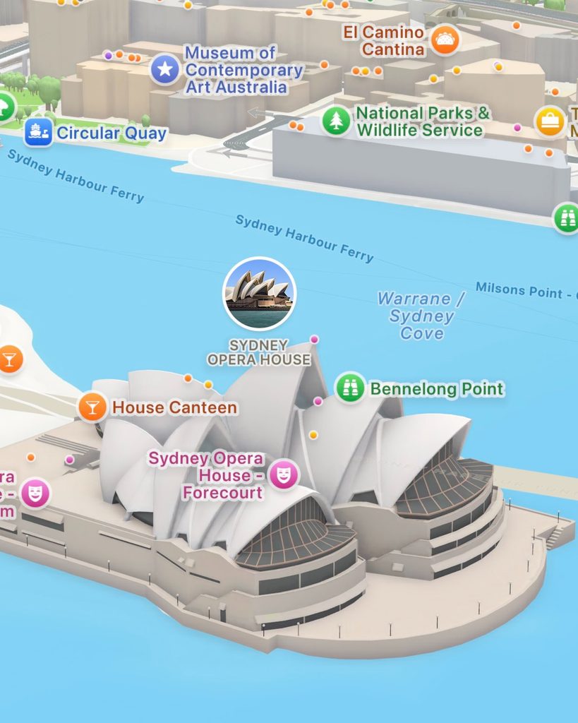
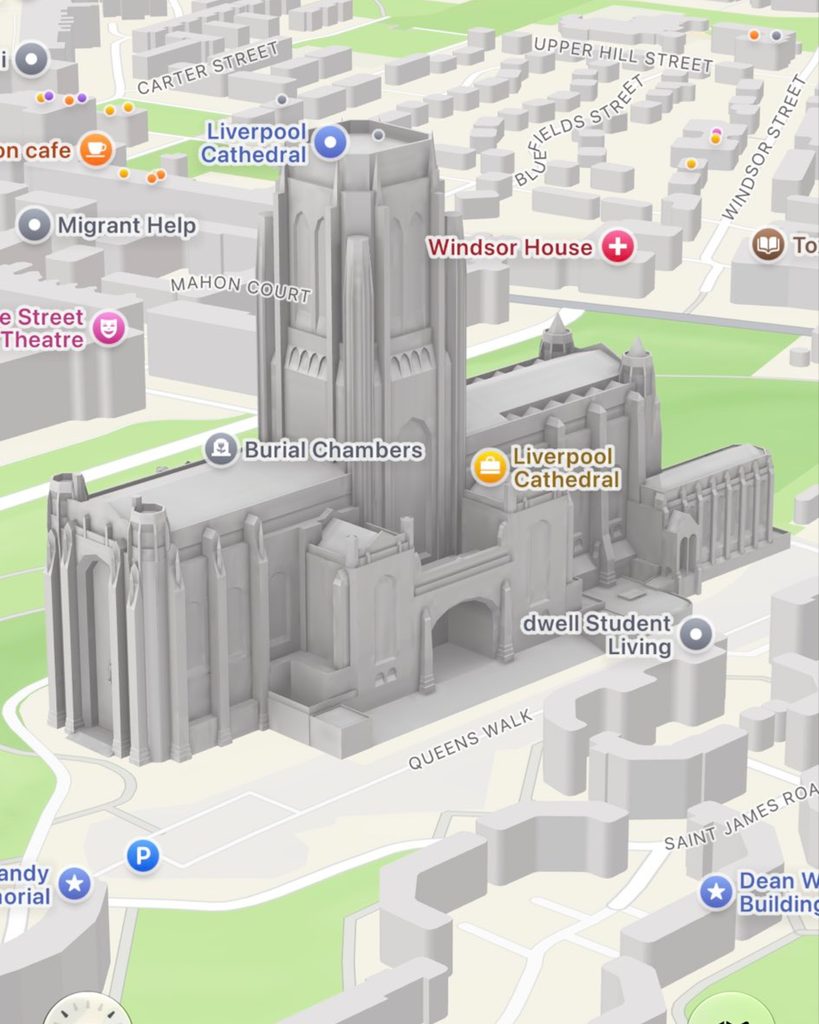
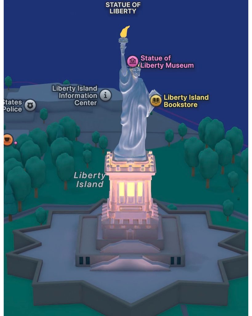
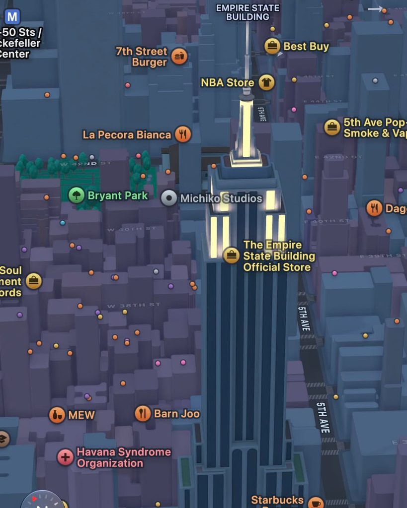
Apple Maps has recently been updated to display visual information within the map in greater detail. Apple explains that its map service displays urban elements such as buildings, trees, elevation, crosswalks, lanes, and medians in detail.
The driving screen displays speed limits, enforcement cameras, lane guidance, and intersection information together. As you approach a complex intersection, it switches to a 3D road view, making it easier to check the direction of travel. Maps are becoming more than just simple route guidance screens; they are becoming tools for reading actual road structures.
Apple also teased an enhanced Flyover at its announcement in June 2026. This feature combines aerial imagery with AI to display buildings and terrain in some cities more clearly. The Apple Maps community has responded positively, noting that the experience of navigating cities has been strengthened due to detailed building models and improved Flyover quality. However, the cities where this feature is available vary by region.
See more and sources
https://www.apple.com/maps/